I have been carrying out interviews to see what my research participants feel about the Digital Towneley website. These are just some thoughts about their feedback so far and some early analysis.
One participant who I have interviewed said that their experience of the site was just as a series of pictures of Towneley. They specifically responded to my question about sense of place and space to make clear that they did not experience any kind of “virtual experience”.
In contrast, others have so far indicated that a sense of geographical space is created for them in Digital Towneley, whether this is a ‘virtual space’ or at least an acceptable alternative for movement within the real-world park space. This has been mainly in relation to the map screen and this links for me to the way that de Certeau discusses viewing the city from above. The view is akin to a simulacrum, like Baudrillard’s ‘map’, because we do not understand a city by viewing it holistically but by experiencing it in person. Seeing the whole city from above is seeing a different object entirely. Kenderdine discusses the effects of the panorama and the georama in this sense and how it can allow viewers to feel as though they can “travel to distant lands, historic cities and imposing landscapes” (Kenderdine 2010, 308). This is something which seems to be occurring (for some) with the map in Digital Towneley, since reactions and exclamations from the interviewed participants have implied senses of ‘travel’.

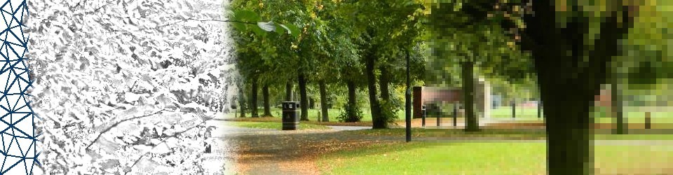
Map example from Digital Towneley with walking character in red.
We might argue that these reactions are not exclusive to digital representations. After all, there is a tangible ‘real’ map in Towneley Hall foyer. This would also potentially have the effect of geographical omniscience or ‘travel’. However, the Digital Towneley map offers an interactivity (to an extent), represented both by the movement of the walking character and the hyperlink-like ability to see more about each location. This interactivity may offer a sense of embodiment felt by seeing the moving character walk across the map; the movement has been noted by several participants. It may also be that the ability to ‘move’ from the map to a specific location is a satisfying quality of the digital map – not only does it represent a place (like a sign on a conventional map) but it offers a ‘window’ through which to visit that place (which is admittedly another series of digital simulacra/signs).
But, as indicated above, for some the website just offered a series of images. There are different reactions to digital media. This has also been further highlighted so far by the reactions to the use of the website. The participants have varied in their levels of digital literacy and the physical contexts of the interviews have varied also. On top of this, the pretext for each interview has been very different. Some participants have looked through the website relatively thoroughly, while others have not even been able to access it. It is my aim through my choice and design of methodologies to address these contextual differences, but it seems clear to me at this stage that the evaluation of a digital phenomenon’s effect is as difficult as evaluating the effect of art or landscape. It is for this reason that largely commercial approaches to digital evaluation have (for me) fallen short of exploring the potential pitfalls and benefits of digital heritage development and impact.
It is no surprise that digital heritage will have varying effects on people owing to their various circumstances. One interesting thing so far (and of course my data is limited at this stage) is how digital literacy is not necessarily the main factor in terms of engagement with heritage memories or meanings using digital representations.
References:
Kenderdine S. (2010) ‘Speaking in Rama: Panoramic Vision in Cultural Heritage Visualization’ in Cameron & Kenderdine (eds) Theorizing Digital Cultural Heritage: A Critical Discourse